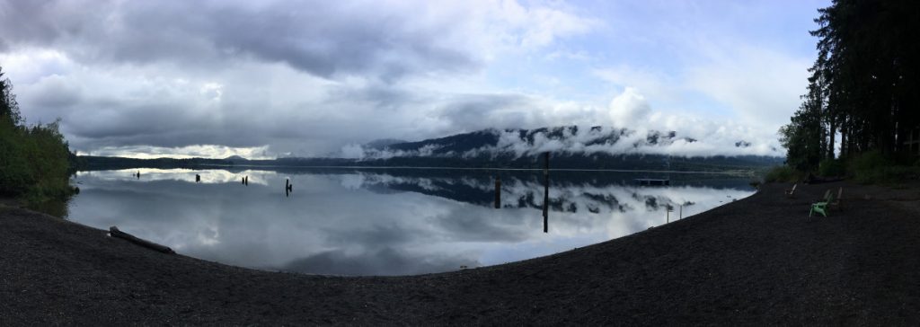
Comprising about 3,600 square miles (9,300 km2), The Olympic Peninsula is the large arm of land in western Washington lying west of Seattle, and contains the Olympic National Park, Olympic National Forest, and the puget sound, also known as the Salish Sea. It is bounded on the west by the Pacific Ocean, on the north by the Strait of Juan de Fuca, and on the east by the Hood Canal.
The Olympic National Park is 1,500 square miles of preserved, protected land managed by the National Park Service and the department of the interior, while the Olympic National Forest 980 square miles of disconnected land which serves many purposes, including timber, recreation, fishing, and hunting, managed by the department of agriculture. Both encompass the varied landscape of Washington’s Olympic Peninsula, from lush rainforests, to deep canyons, to high mountain ridges, to ocean beaches. Wilderness recreation opportunities, such as backpacking and backcountry horseback riding, exist in the peninsula on both national park and national forest land.
Some iconic destinations of the peninsula include the Hoh Rainforest, Lake Quinault Nature Trail, Staircase, and Ruby Beach.
Amphibians and Reptiles of Olympic National Park
Audubon: Olympic National Park
Dow Lambert’s Olympic Bird Photography
Geologic Map of the Olympic Peninsula: Plate 1
Geologic Map of the Olympic Peninsula: Plate 2
UW: Geology of the Olympic Peninsula
Guide to the Flora of the Olympic Peninsula
Inventory of the Mosses, Liverworts, and Lichens of Olympic National Park
Olympic National Forest Plant Notebook