
The puzzle booklet contains a brief history of the Nisqually Delta and the efforts of local citizens, the Nisqually Tribe, and the U.S. Government to restore it. The booklet provides illustrated instructions on how to assemble the puzzle and activities designed to teach map reading and plant and animal identification. Preview the Booklet contents below.
1. Download the puzzle booklet to your computer.
2. Print the puzzle booklet using the double-sided feature of your printer on legal size paper (8.5″ x 14″). Be sure to choose the short edge binding option in the double-sided printing menu. If you don’t have a double-sided printer, then print the even number pages first, turn the paper over in the paper feeder and print the odd numbered pages. To obtain better color images use a print shop like Fed Ex, Minute-Man Press, Staples, or Office Depot.
3. Bind the Puzzle booklet.
4. Preview booklet contents:
Nisqually Delta Restoration Puzzle Booklet
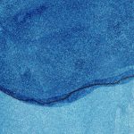
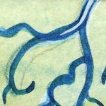
Discover with me the important estuary restoration at the Nisqually Delta in South Puget Sound, Washington. Estuaries, some of the most productive habitats on the planet, are places where rivers reach the sea. At the estuary, the river slows down, drops its load of sand and silt and creates a fan shape of tiny little shifting creeks that look like the human circulatory system. Protected from battering waves and storms, this area of mixing of salt and fresh waters along tiny waterways provides food and shelter for hundreds of species of plants and animals. Healthy estuaries have a variety of habitats like salt marshes, mud flats, and eel grass beds that sustain a diversity of species. The incoming and outgoing tides are the lifeblood of the system.
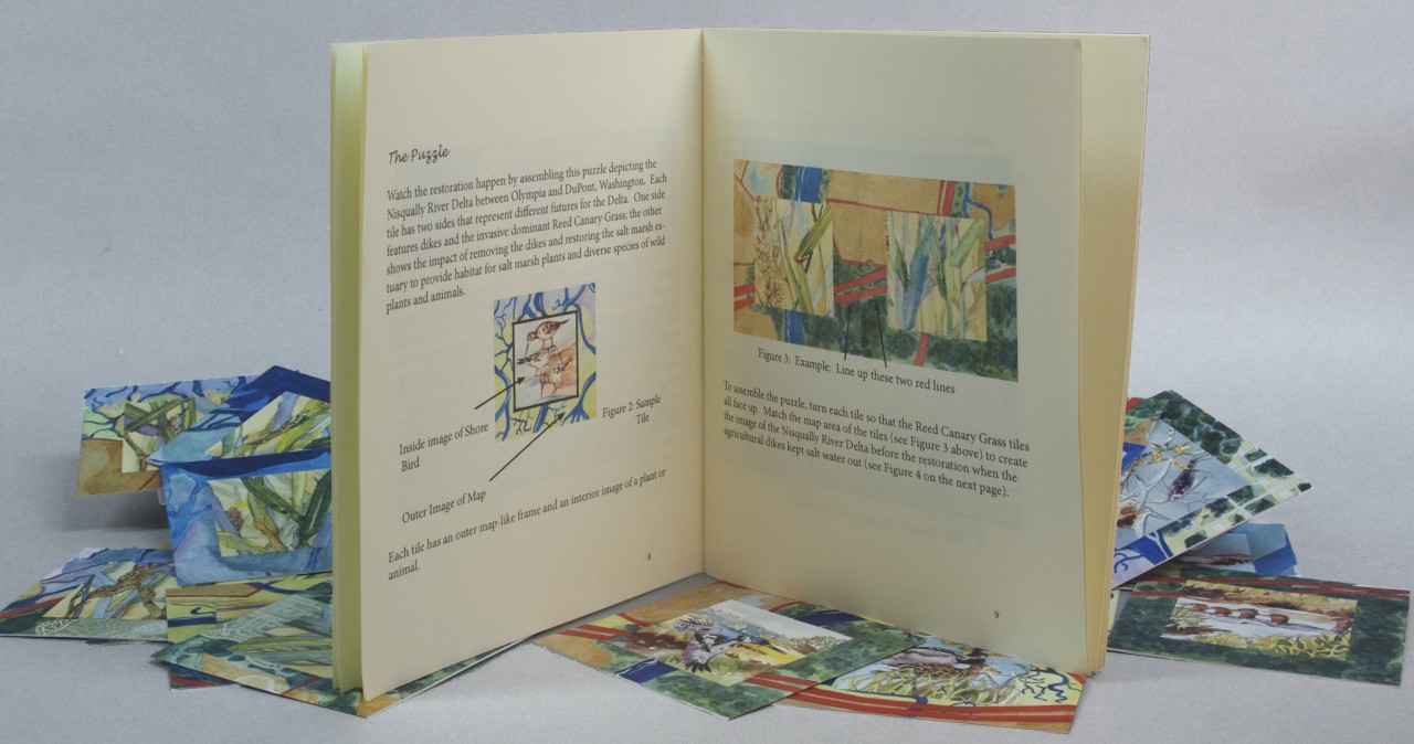
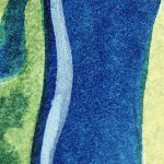
Watch the restoration happen by assembling this puzzle depicting the Nisqually River Delta between Olympia and DuPont, Washington. Each tile has two sides that represent different futures for the Delta. One side features dikes and the invasive dominant Reed Canary Grass; the other shows the impact of removing the dikes and restoring the salt marsh estuary to provide habitat for salt marsh plants and diverse species of wild plants and animals.
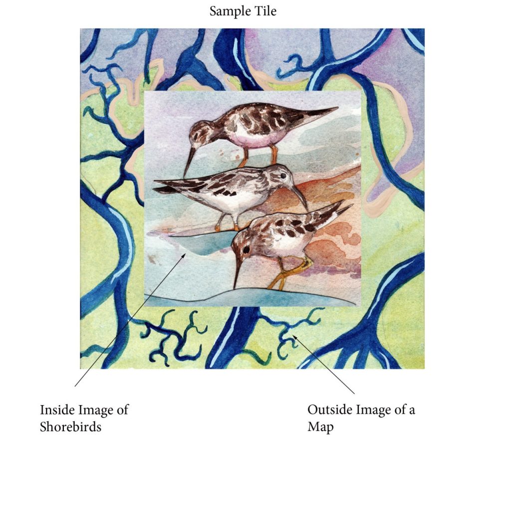
Step 1: Look at a tile. Notice that each tile has an outer map-like frame and an interior image of a plant or animal.
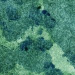
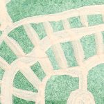
Step 2: Turn each tile so that the Reed Canary Grass tiles all face up. Match the map area of the tiles to create the image of the Nisqually River Delta before the restoration when the agricultural dikes kept salt water out.
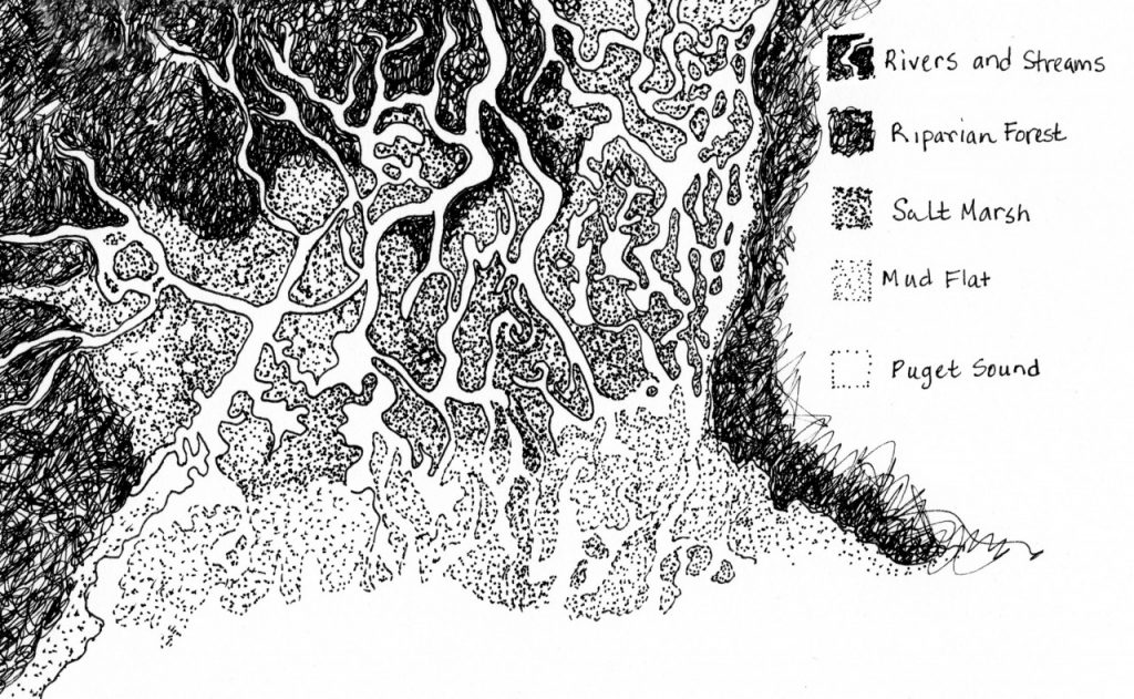
Once you line up all of the tiles, the image will look like the image below, Before the Restoration.
Before the Restoration
This side of the puzzle illustrates that the dikes keep out the salt water and allow one dominant invasive species, Reed Canary Grass, to thrive.
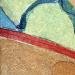
Step 3: Read the map key below. Can you identify each feature of the map? Which features are missing or harder to identify? Can you identify the plant you see inside the map frame?
Map Key
-
- Puget Sound

-
- Rivers and Streams

-
- Salt Marsh

-
- Tide Flats

-
- Riparian Forest

-
- Agricultural Land

-
- Agricultural Dike

-
- Boardwalk

-
- Housing Development

-
- Interstate 5 Highway

-
- Railroad Dike

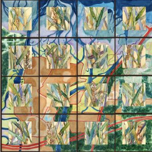
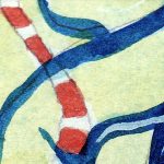
Step 4: To represent the restoration, turn the tiles over so the inside images show different plants and animals. See the map below.
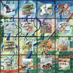
After the Restoration
Which images on the map changed? What map images are new? Which ones are larger? What is missing? What do you think happens when you remove the agricultural dikes?
Step 5: Can you identify the Plants and Animals in the center of each puzzle tile? Use the Plants and Animals Key to find out more. Notice that by removing the dikes you have allowed for more species diversity and a great habitat for wild salmon.
