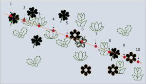
Our understory vegetation survey data use four point-line-intercept transects taken in each cardinal direction from the center of each 10m plot. Data are collected every 10cm along the transect using a plumb-bob. All intercepted vegetation is counted and used to estimate vegetation cover.
Here is a link to our data from 2008-2018: Data

